Goals
Our overall goal is to quantify and assess trade-offs between woody plant encroachment (WPE) and BM so that policymakers and rangeland and forest managers can better differentiate among the consequences and cost-benefit of competing land use and land management scenarios at relevant scales. Our overall objective is to compare and contrast the provision of a portfolio of ES on instrumented watersheds with intact and cleared woody vegetation. ES to be quantified include: provisioning services (forage production, water yield), supporting services (ecosystem [woody + herbaceous] primary production, soil moisture), and regulating services (carbon sequestration, peak flows, sediment yield, land surface-atmosphere interactions). All ES will be assessed for the duration of the project. All field data will be collected in a spatially explicit fashion and used in conjunction with existing dynamic simulation environments (Automated Geospatial Watershed Assessment tool with the RHEM-KINEROS2-OPUS models; tRIBS, TIN-based Real-time Integrated Basin Simulator; CENTURY biogeochemical process model) to evaluate how contrasting land cover, climate, and land management scenarios will impact the provision of ESs at watershed scales.
The proposed research will address these limitations for a portfolio of ES on instrumented watersheds with intact and cleared woody vegetation using an integrated combination of field surveys, flux towers and high resolution remote sensing. The provisioning and support services we are addressing will be quantified at multiple scales, creating an opportunity to examine their spatial variability and determine:
(i) how well our models predict those patterns, and
(ii) how well those patterns aggregate to watershed scales.
A recent review of BM noted the lack of watershed-scale research and the lack of long-term data on ecosystem responses. The proposed research will address the former and lay a strong foundation for the latter. Our study site, the Santa Rita Experimental Range (SRER) has a storied history of supporting long-term research and has recently been designated a long-term (35 year) NEON core site. As such, mechanisms are already in-place for site/treatment protection and maintenance, as are protocols for sample and data archiving. Furthermore, the watersheds we will be using are managed by the ARS Southwest Watershed Research Center and are part of the recently initiated Long-Term Agro-Ecosystem Research (LTAR) Network. This network currently consists of 18 nodes comprised of USDA-ARS and university research sites across the country. The network has four priority areas of concern: agro-ecosystem productivity; climate variability and change; conservation and environmental quality; and socio-economic viability and opportunities. The proposed research is designed with these priorities in mind. Our four year project will quantify important pre-treatment, antecedent conditions and initial ecosystem responses to BM. As such, we will lay a solid foundation for subsequent research and monitoring by the scientific community, a necessary first step toward elucidating long-term ES responses to BM.
Study Site
The 210 square-kilometer Santa Rita Experimental Range (SRER; elevation range 900 - 1400 m), created in 1903, is located on the western alluvial fans of the Santa Rita Mountains, 45 kilometers south of Tucson. The climate is subtropical semi-arid with precipitation dominated by North American Monsoon. Precipitation is roughly split between summer (July-September) and winter (December-March). Mean annual precipitation ranges from 282 mm to 492 mm at low and high elevations, respectively. Average daily temperature at 1340 m is 26.4 °C in July and 8.6 °C in January. Vegetation on the long-term watersheds is dominated by velvet mesquite (Prosopis velutina) and a ground layer of black grama (Bouteloua eriopoda), lovegrass (Eragrostis lehmanniana and E. curvula), Arizona cottontop (Digitaria californica), and threeawn (Aristida spp.). The primary land use has been cattle grazing.
One advantage of this study is that we have the opportunity to monitor BM effects on ES in the context of instrumented watersheds that provide long-term data. The USDA-ARS instrumented eight unit-source watersheds in 1975 throughout SRER to record rainfall, runoff, and sediment, as well as to investigate the effects of manipulative treatments on hydrological processes. A subset of these watersheds (WS 5, 6, 7, and 8) are being used for this study.
The treatment area is centered on an eddy covariance tower managed by Arizona State University and constructed in 2011. We have the capacity to compare the changes in ecosystem flux measured by this tower post-treatment with our "control" tower managed by USDA-ARS about 1.5 kilometers to the west. Both towers are equipped with identical instrumentation to measure ET and NEE using the eddy covariance technique.
Summary | Gallery
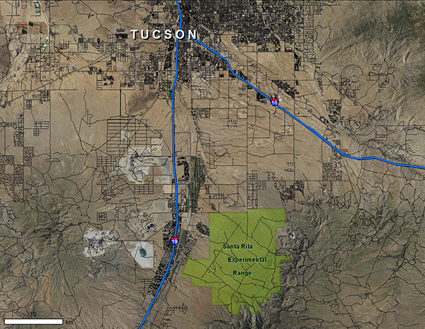
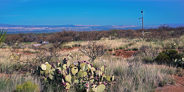
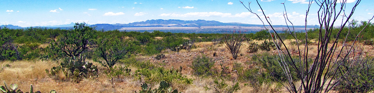
The greater Tucson metropolitan area, Arizona, including Green Valley.
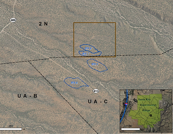
The four ARS watersheds (outlined in blue) dedicated to the study.
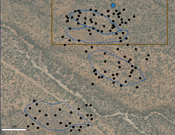
The locations of the 90 mesquite individuals serving as targets for quantifying ES.
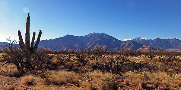
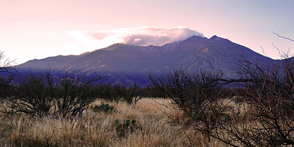
A view of the Santa Rita Mountains from the study area.
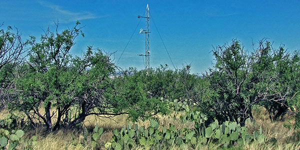
The ASU-managed eddy covariance tower inside the treatment zone, April 2016.
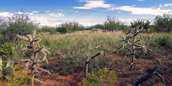
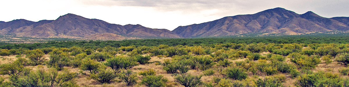
Mesquite savanna
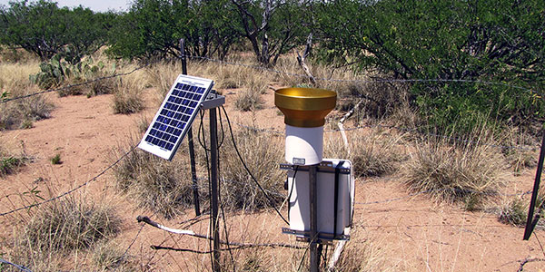
Rain gauge and power source for soil moisture sensors.
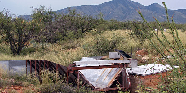
Flume measuring sediment yield
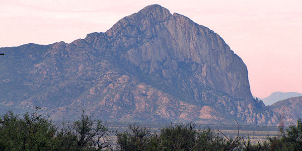
Elephant Rock, Santa Rita Mountains
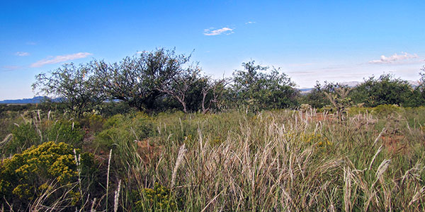
Mesquite savanna
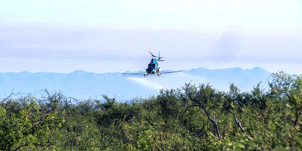
Brush management via chemical application
The Santa Rita Mountains from the treatment area approximately one month post-treatment.
The treatment area approximately one month
post-treatment.

The ASU flux tower at dawn
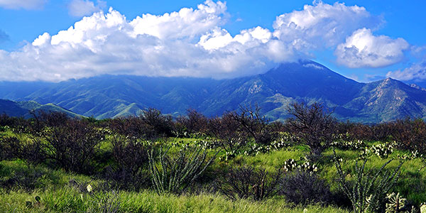
The Santa Rita Mountains at dawn
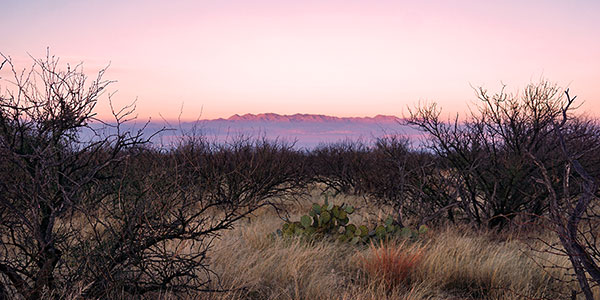
The Sierrita Mountains at dawn