Projects
Effects of Arizona Climate on Wine Grape Composition
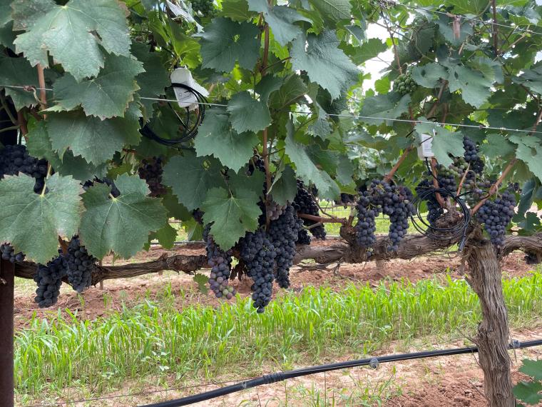
As temperatures continue to trend higher, it is well known that wine grape growers in warm-climate viticultural regions will increasingly be challenged by the many effects that temperature has on fruit composition. Warmer ripening conditions in recent years for such growing regions around the world have resulted in higher sugar concentrations, less acidity, higher pH, and changes in aromatic and phenolic compounds. Precipitation during ripening additionally can influence wine grape composition by interacting with effects caused by temperature. With support from the Arizona Department of Agriculture, we are examining temperature, precipitation, and fruit composition of past vintages to better understand the climatic drivers that underlie the makeup of wine grapes and to aid growers in the production of high-quality fruit.
winegrape-canopy-fruit.jpg
Climate, Soil, and Topography of American Viticultural Areas in Arizona
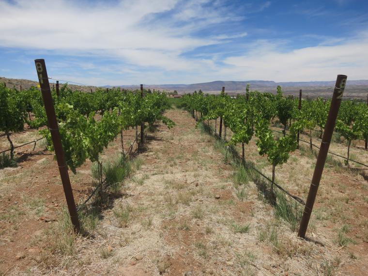
Climate, soil, and topography – environmental conditions sometimes referred to as elements of the terroir at a vineyard – are important to the suitability of an area for the production of winegrapes. These factors can affect vine growth and yield as well as fruit quality and composition, which together influence wine quality and vineyard profitability. To help inform about the expanding winegrape-growing industry in Arizona, we are compiling and visualizing data of several relevant aspects of climate, soil, and topography specific to the Sonoita, Willcox, and Verde Valley American Viticultural Areas.
yavapai-college-vineyard.JPG
inView: Integration of DroughtView and SnowView for Extension
Remotely sensed and other geospatial data are valuable for assessing impacts to arid and semi-arid lands caused by drought or other changes in the natural environment. This is particularly true for the large and remote tracts of complex terrain that characterize Arizona, where such data has become indispensable for decision making in several sectors including ranching, forestry, and water resources. We have collaborated with the Climate Science Applications Program in Cooperative Extension and the Arizona Remote Sensing Center to help ensure continuity, enhance functionality, and expand userbases of the DroughtView and SnowView web-based decision-support tools.
droughtview-snowview-logos.png
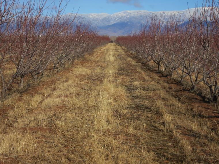
Climatic conditions are important to the siting of orchards and vineyards as well as to the selection of cultivated varieties. Since these plantings often last for decades, knowing, for instance, how recent warming has affected and how further anticipated warming might affect perennial fruit and nut crops is critical. With support through the Climate Assessment of the Southwest (CLIMAS) program, we have worked on this issue with social scientists, Extension personnel, staff and students from a college viticulture program, and regional growers. Our goal is to combine field observations, climate science, viticulture and pomiculture, and local data in order to identify which aspects of weather and climate have impacted different growth stages of trees and vines. As we generate and share new information with stakeholders, their ability to assess current production and appropriately site and select cultivars in the coming years will improve.
apple-orchard-briggs.JPG
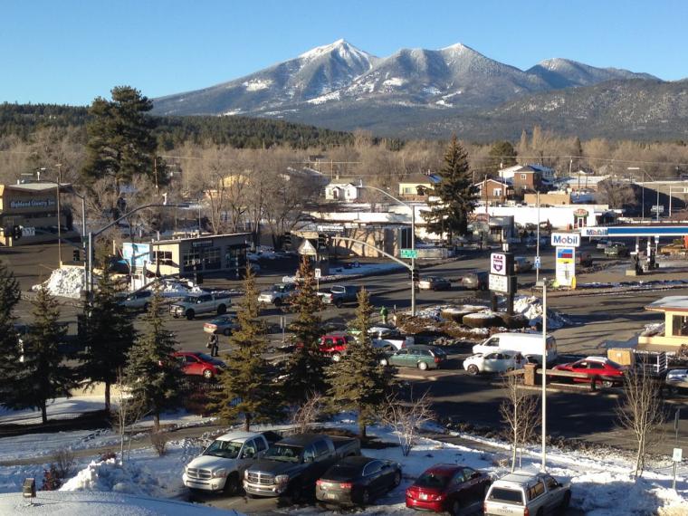
There is growing interest in more and more communities to plan for the reality of a changing climate. Like many forms of community planning, climate change adaptation requires decision-makers to envision the future of their communities and make well-grounded assumptions about economic, demographic, and cultural trends that are likely to affect that vision. Climate information is necessary for building these well-grounded assumptions. However, the ability to gather, interpret, and use climate information effectively is often a barrier in communities’ adaptation planning attempts. With funding through the Climate Assessment of the Southwest (CLIMAS) program, we have contributed to climate profiles that support community climate adaptation efforts.
flagstaff-az.JPG
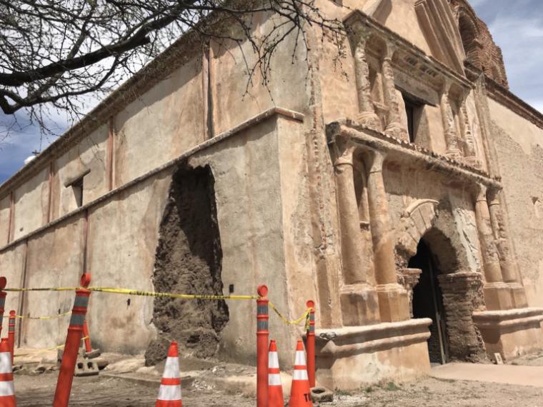
Framework for Addressing Cultural Resource Vulnerabilities
We have helped heritage conservationists, climate and remote sensing scientists, scenario planners, and National Park Service staff address climate change impacts on cultural resources. Although common for natural resources, efforts like this are relatively new for historic structures and historically significant landscapes. With funding from the National Park Service Vanishing Treasures Program, the project group has developed risk maps that show key indicators of environmental vulnerability with at-risk cultural resource types and materials specific to the intermountain west. Our role was to generate summaries of impact-specific climate variables from state-of-the-art downscaled projections being used for the Fourth National Climate Assessment. With other phases that incorporated scenario planning and develop adaptation strategies, this project provided needed tools to NPS cultural resource managers that help preserve irreplaceable structures and landscapes.
Regional and Global Climatic Drivers that Influence Spring Budburst in Perennial Fruit Crops
Temperatures during dormancy are an important influence on the timing of spring budburst for perennial fruit crops like winegrapes. Knowing how and why heat accumulation during this time of year has varied and changed over recent decades can lead to better understanding of budburst timing and spring frost risk. With an award from the Short-Stay Program of the "Make Our Planet Great Again" initiative, we have collaborated with French colleagues at the AgroClim service unit of the National Institute for Agricultural Research to map an approach to determine how spatial and temporal variations of heat accumulation during dormancy relate to regional weather patterns, climate variability, and climate change.
Mapping Climate Exposure and Climate Information Needs to Water Utility Business Functions
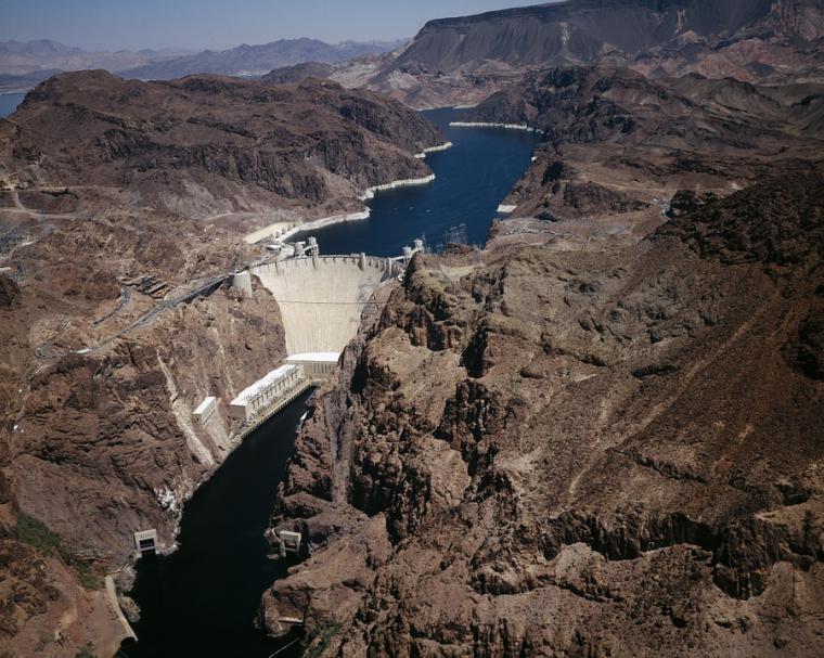
Utilities have experience managing risks related to water supply and quality. However, they often need help developing and processing climate information in order to understand how climate change could affect core business functions like stormwater management or engineering and design. To address this, we have helped specialists in climate adaptation and resilience from Cadmus and the Center for Climate Adaptation Science and Solutions (CCASS) on a project funded by the Water Research Foundation and the Water Utility Climate Alliance to map climate exposure and climate information needs to utility business functions. In addition to identifying relevant underlying conditions, climate phenomena, spatial and temporal scales, and information formats to help prioritize the areas in which greater knowledge of climate change would be most useful, the project group and staff from four case-study utilities have co-produced an industry framework to manage cascading risks and opportunities that arise from a changing climate and enhance overall business resilience.
hoover-dam-lake-mead.jpg