
Data for download
This page provides access to the new Santa Rita Experimental Range (SRER) digital archive, the longest record of data available in the Southwest for long-term measurements of climate, vegetation change, livestock use, experimental land use treatments, and repeat photography.
Currently, the digital archive is divided into 13 main sections, listed below. Data users are requested to acknowledge their use of the database in publications, research proposals, websites, and other outlets by following the Instructions for Use, Citations, and Acknowledgement.
The following Update Log records the history of revisions made to the SRER digital archive.

Description of Repeat Photography Archive
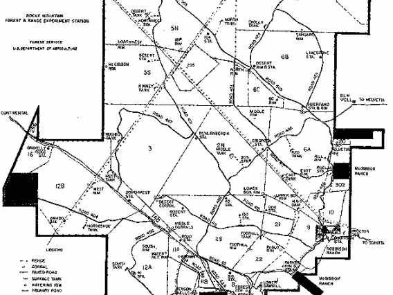
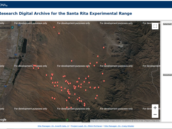
Find Photos on a Map
UTM Coordinates of Photo Stations
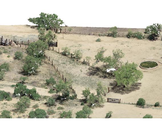
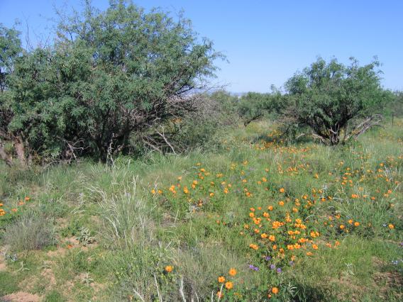
Examples of Vegetation Changes
Links to external drone imagery repositories from past research projects conducted on the SRER.
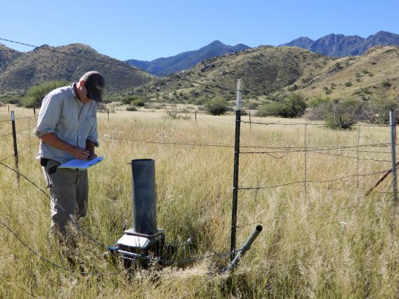
Precipitation Measurement Protocol
Precipitation Data Since 1922
UTM Coordinates of Rain Stations
Name History of Rain Stations
Additional Resources
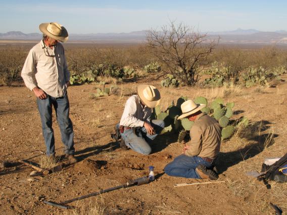
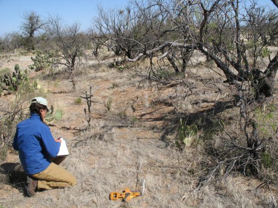
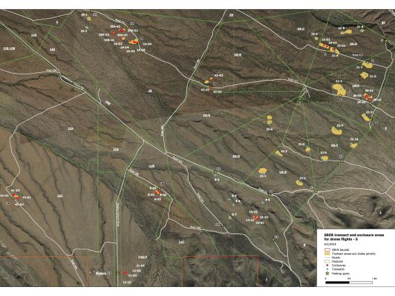
Long-term Vegetation Transects
Plant Species on Transects
Ongoing Vegetation Transects
Exclosure Transects
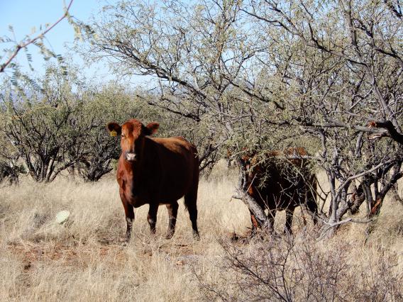
Current Grazing Schedule
Comparison of Planned Livestock Use and Actual Use Since 2006
Monthly Livestock Use by Pasture Since 1916
Grass Utilization by Livestock Since 2010
Grass Production by Pasture
Historical Research Project Archive
Introduction and Instructions for Using the Archive
Historical Research Digital Archive for the Santa Rita Experimental Range
National Ecological Observatory Network (NEON)
NEON Observational Sampling at SRER
NEON Automated Instruments at SRER
NEON Airborne Remote Sensing at SRER
Accessing NEON’s Spatial Data and Maps
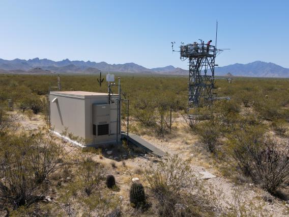
USDA-ARS Ecosystem-Atmosphere Water and Carbon Exchange
Water and Carbon Exchange Study Background
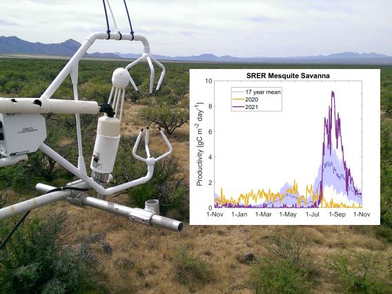
Water and Carbon Exchange Graphs and Data
Other Water and Carbon Exchange External Resources
Links to external data repositories from ongoing and past research projects conducted on the SRER.