Exclosure Transects
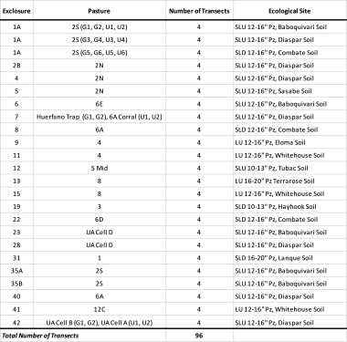
The Exclosure Transect database includes measurements of vegetation (cover, biomass, and/or density by species) made on 96 selected study transects since they were established in 2011 in 22 livestock exclosures on the SRER. They have subsequently been measured every three years by Mitchel McClaran and his staff, with the most recent measurements recorded in 2023. The transects are scheduled for re-measurement in 2026.
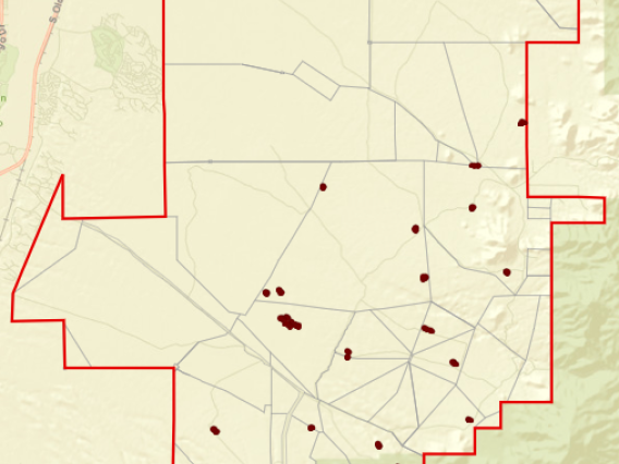
Livestock exclosures were established on the SRER in 1916-1935. Ecological Site boundaries were mapped in exclosures and outside exclosures within 250 m of exclosure fence. In 2011, for each ecological site represented within an exclosure, four 100-ft. transects were established: two within the exclosure and two just outside of the exclosure on the same ecological site. Only one exclosure (1A) contained more than one ecological site, for a total of 6 transects on 2 different ecological sites (originally 3 Ecological Sites, but revised to only two). Transect locations were selected to represent local conditions. Transects that were within the exclosures were labeled numerically and with the letter “U” to indicate that the vegetation along the transect had been “Ungrazed” by livestock since the exclosure was established. Transects located outside of the exclosure were labeled numerically and with the letter “G” to indicate that the vegetation along the transect had been “Grazed” by livestock. Transects for each exclosure were therefore labeled G1, G2, U1, and U2.
Exclosure Transect Measurement Protocols
Learn more about the protocols for the long-term cover, density, and biomass data measurements on the Exclosure Transects.
Cover data from transects measured every three years since 2011
Density data from transects every three years since 2011
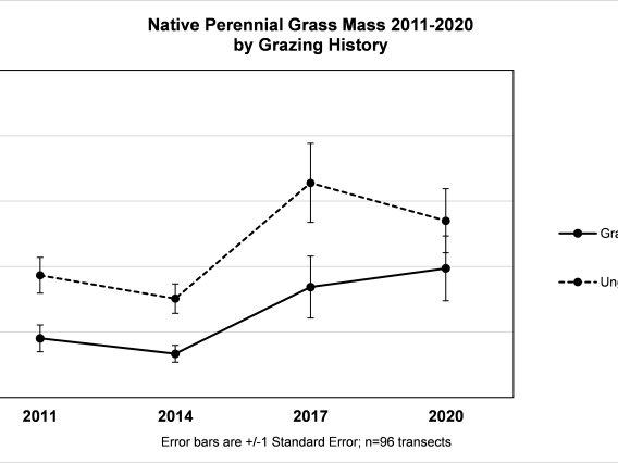
Grass basal diameter and biomass data from transects measured every three years since 2011
Figures for cover, density, and perennial grass biomass for the Exclosure Transects
Figures for cover values on 96 transects through 2023
Figures for density values on 96 transects through 2023
Figures for perennial grass biomass on 96 transects through 2023
UTM Coordinates and Ecological Site Designations for the Exclosure Transects
UTM Coordinates and Ecological Site Designations are available for download for all Exclosure Transects.
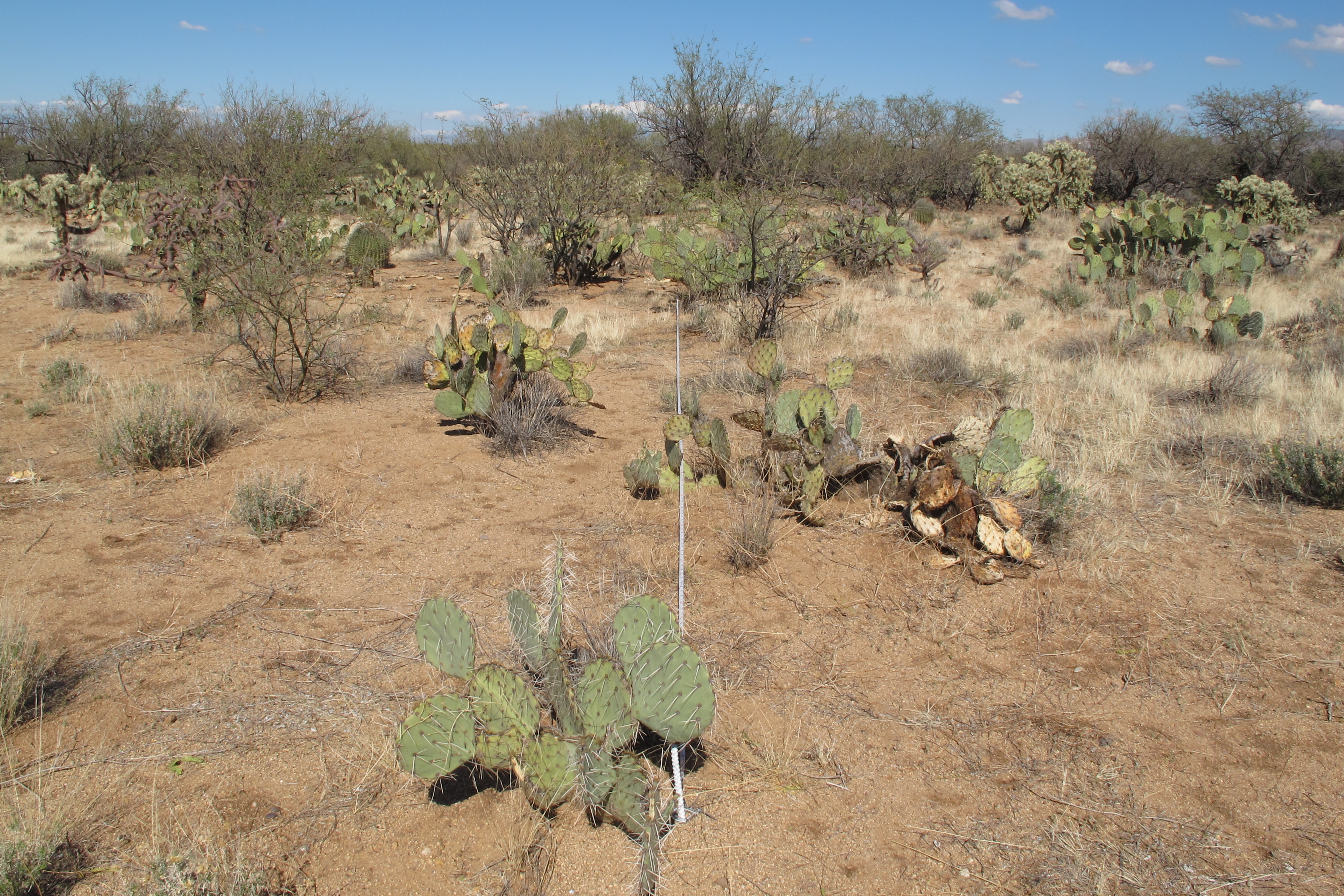
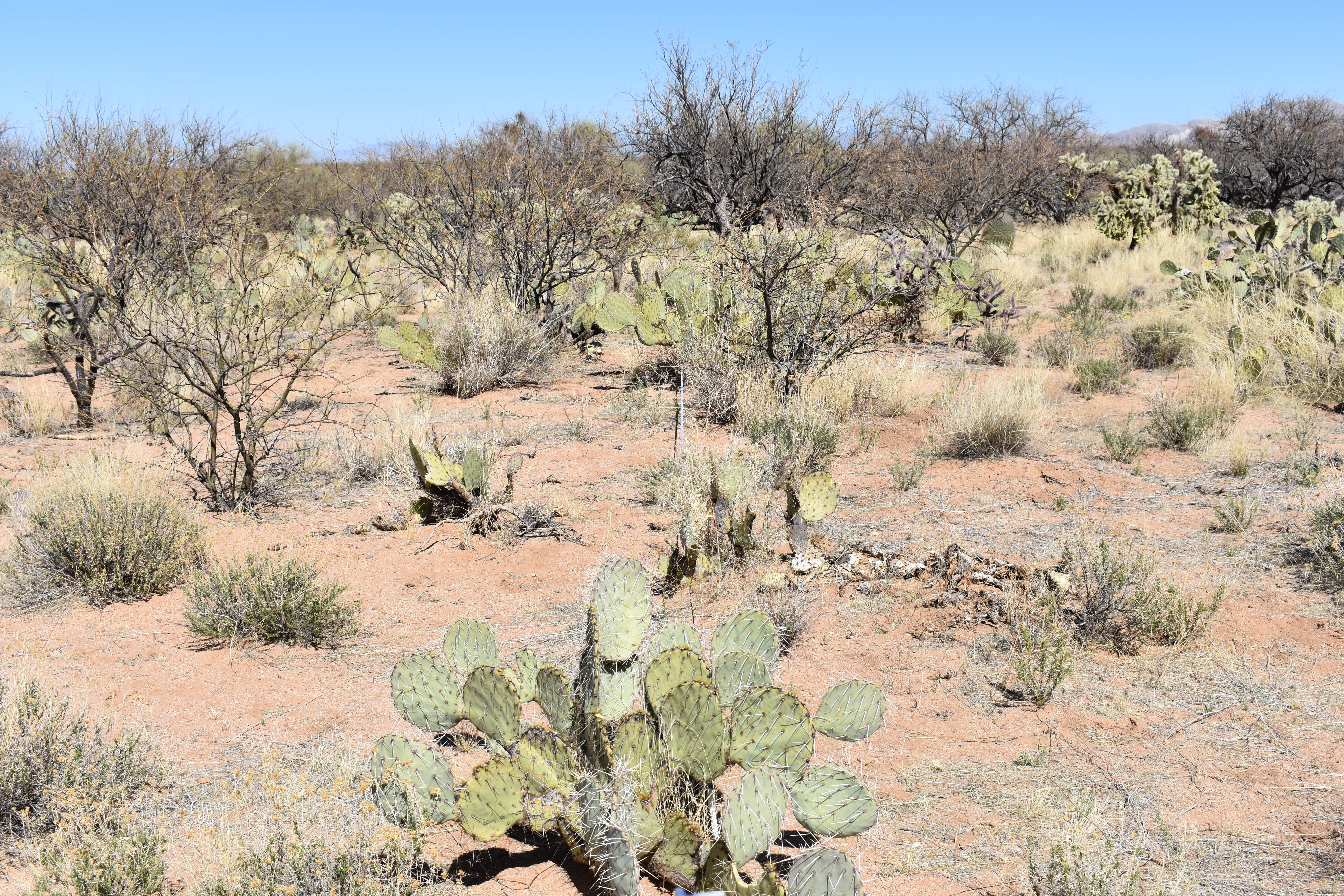
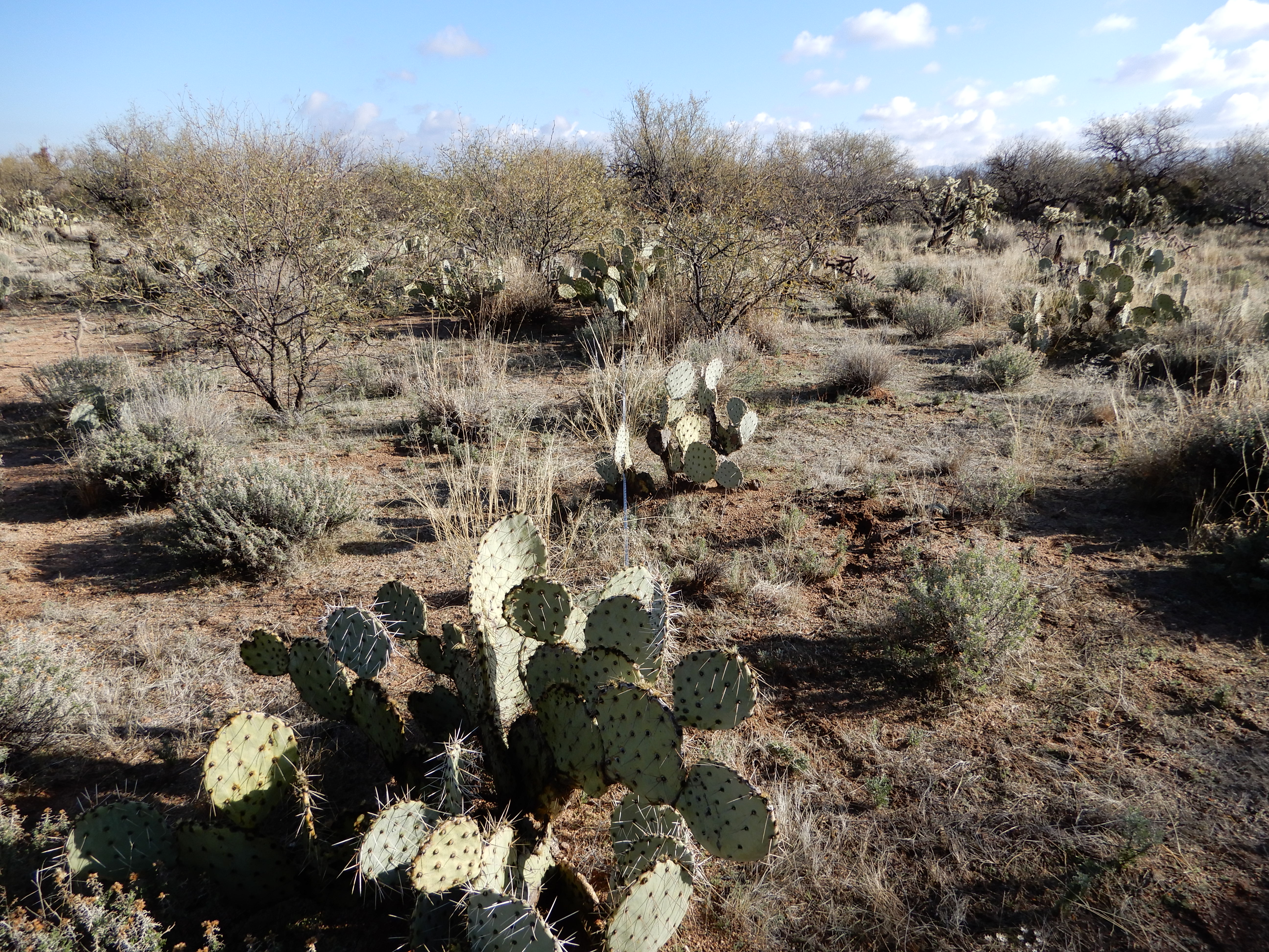
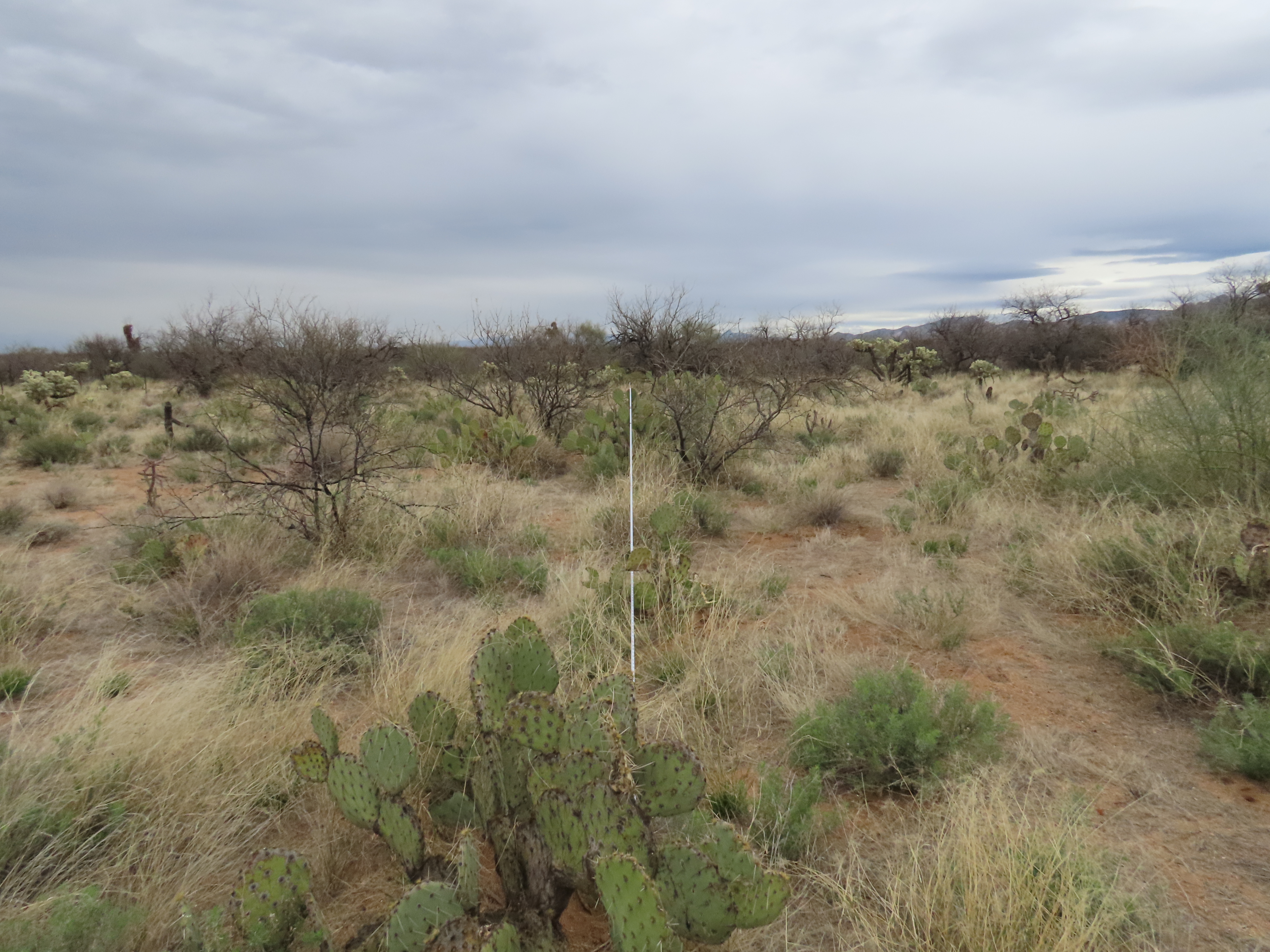
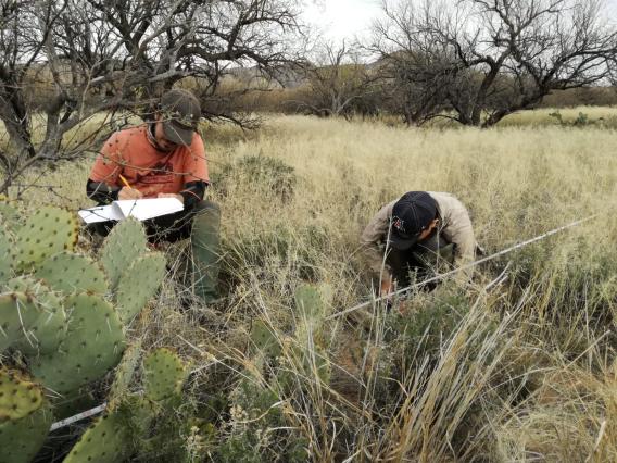
Photographs of the Exclosure Transects since 2011 for viewing and downloading
All photographs taken since 2011 from an Exclosure Transect at the SRER can be viewed and downloaded by selecting the Exclosure on an interactive map or the Transect code in a list of Exclosures/Transects.
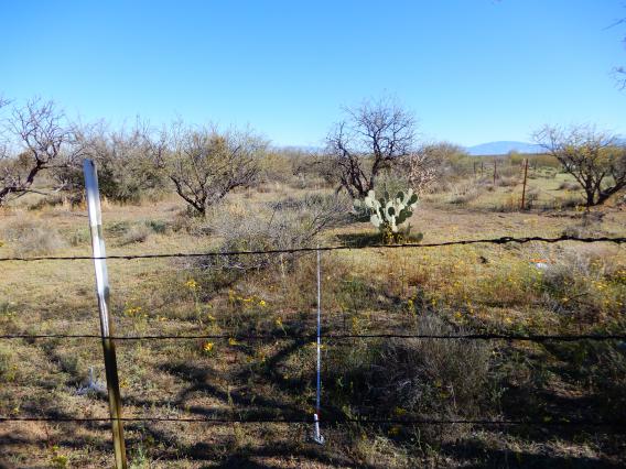
Maps of the Exclosures with transect locations and Ecological Sites
Download the original maps of the Exclosures with the transect locations and the Ecological Sites designation.