
PARTNERS
The Arizona State Land Department (ASLD) holds title to more than 50,000 acres of the SRER.
ASLD manages approximately 9.2 million acres of State Trust lands within Arizona. These lands were granted to the State under the provisions of the federal Enabling Act that provided for Arizona’s statehood in 1912. These lands are held in trust and managed for the sole purpose of generating revenues for the 13 State Trust land beneficiaries, the largest of which is Arizona’s K-12 education.
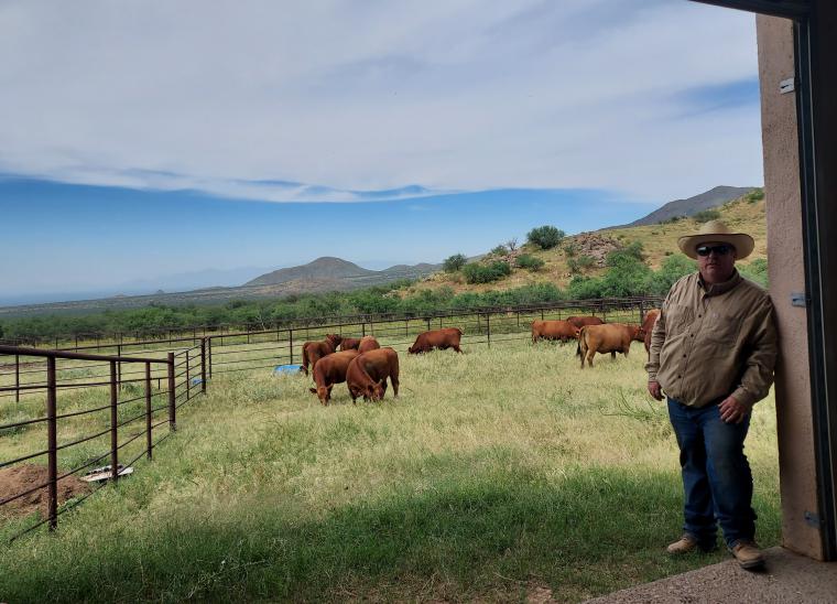
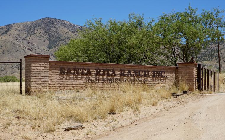
The Santa Rita Ranch owns the cattle that are authorized to graze on the SRER since the 1960s. The Santa Rita Ranch and the University of Arizona collaborate on cooperates with the University of Arizona to develop and implement the annual grazing plan. They also provide use of cattle for various experiments, including the ongoing Virtual Fence project (VENCE).
Partners_Andrew McGibbon_2021.jpg
Partners_Santa Rita Ranch entrance.jpg
The National Ecological Observatory Network (NEON), sponsored by the National Science Foundation and operated by Battelle, is designed to collect and provide open data that characterize and quantify complex, rapidly changing ecological processes across the US. The comprehensive data, spatial extent, and remote sensing technology provided by NEON enable a large and diverse user community to tackle new questions at scales not accessible to previous generations of ecologists.
NEON is one of the SRER partners as the Santa Rita Experimental Range core terrestrial field site for Domain 14: Desert Southwest of NEON is located on the Santa Rita Experimental Range.
NEON open access data collected at SRER and 80 other sites around the U.S. are available for exploration and download on the NEON Data Portal.
For more information about the data collected by NEON on the SRER visit the National Ecological Observatory Network (NEON) page on this website.
Subscribe to the NEON Newsletter to get bi-monthly updates on events, opportunities, and how NEON is being used today.
The Agricultural Research Service (ARS) is the U.S. Department of Agriculture's chief scientific in-house research agency.
The USDA ARS Southwest Watershed Research Center operates eight instrumented subwatersheds on the SRER as an outdoor laboratory for studying semiarid rangeland hydrologic, ecosystem, climate, and erosion processes.
For more information about the data collected by USDA ARS on the SRER, visit the USDA-ARS Ecosystem-Atmosphere Water and Carbon Exchange page on this website and explore here the ongoing projects.
The Coronado National Forest holds title to over 1,00 acres of the SRER.
The Coronado National Forest spans sixteen scattered mountain ranges or "sky islands" rising dramatically from the desert floor, supporting plant communities as biologically diverse as those encountered on a trip from Mexico to Canada.
The Coronado National Forest is one of 154 national forests and 20 national grasslands managed by the US Forest Service (USFS). The agency’s mission is to sustain the health, diversity, and productivity of the nation’s forests and grasslands to meet the needs of present and future generations.