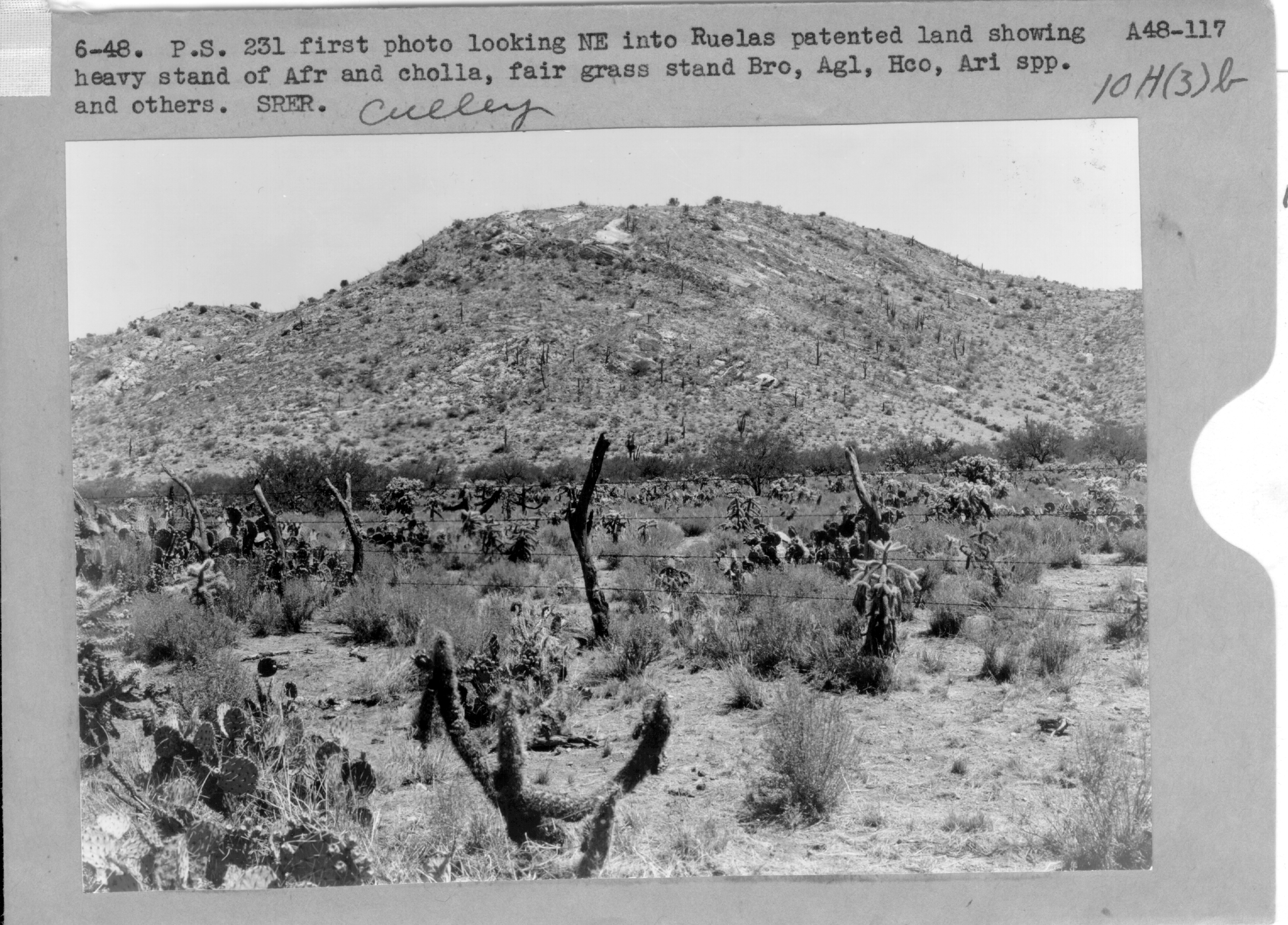
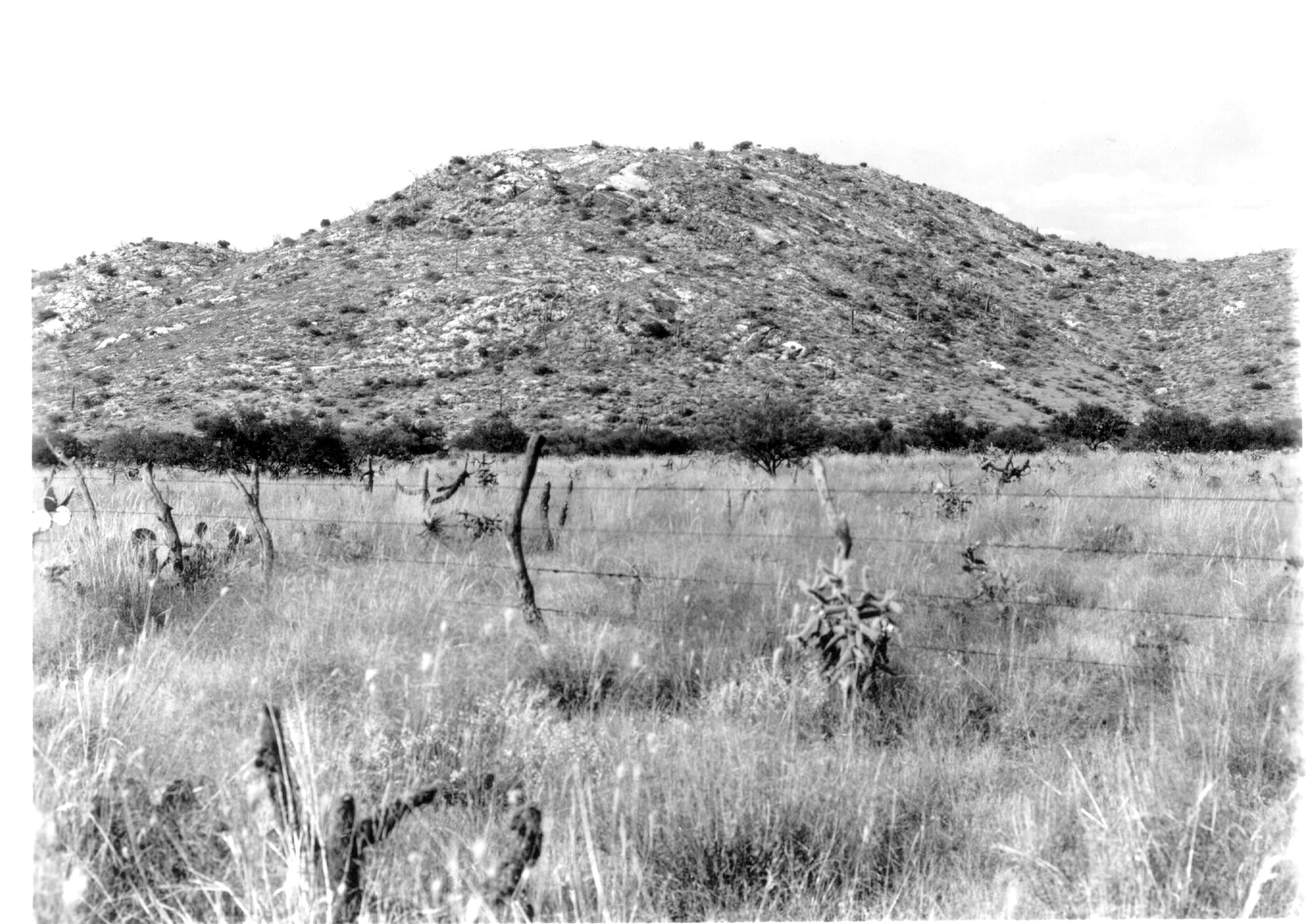
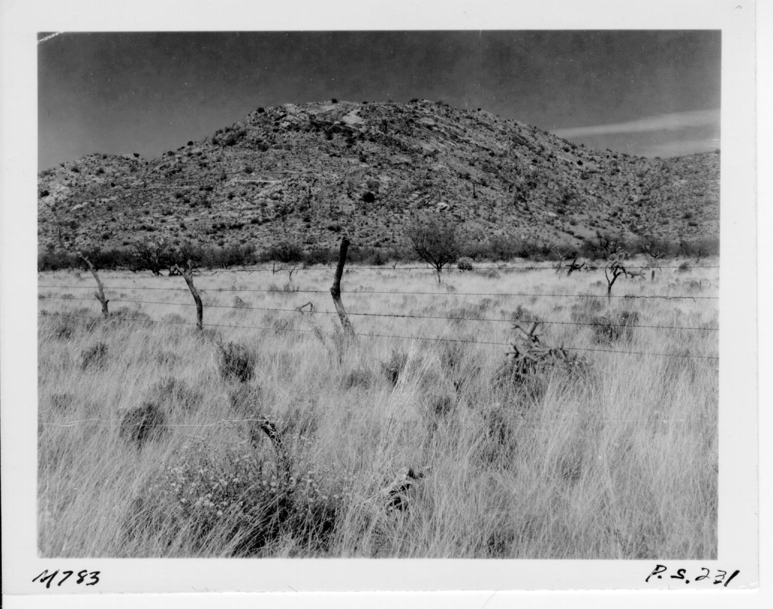
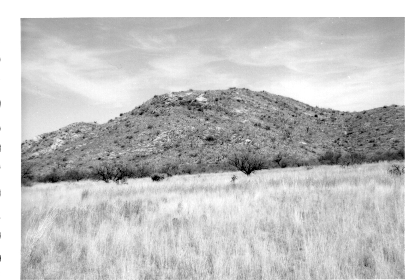
Repeat Photography
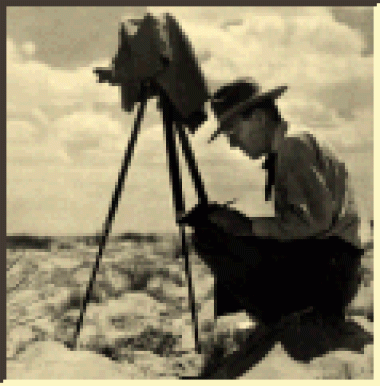
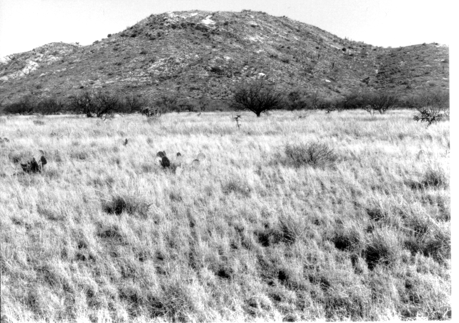
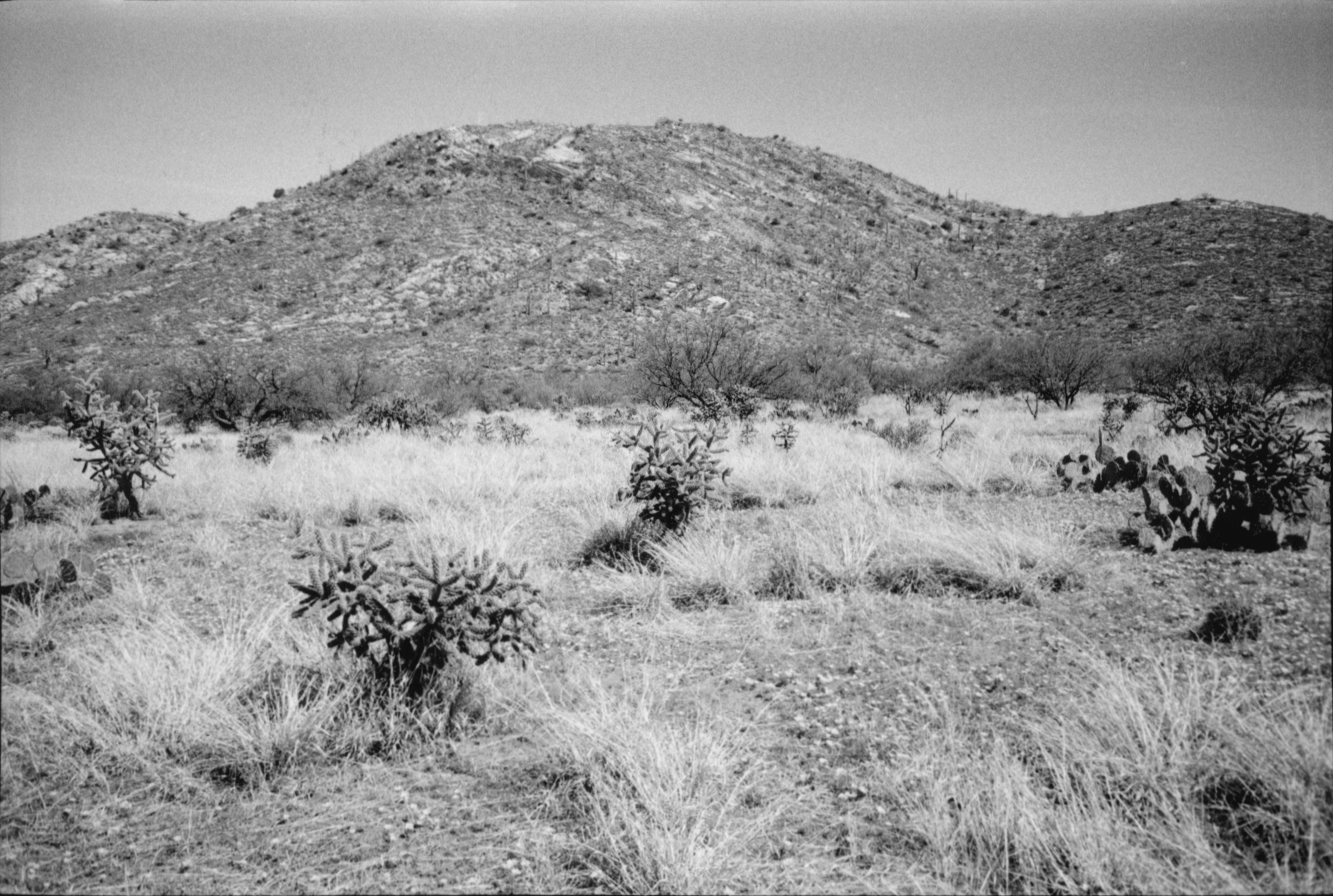
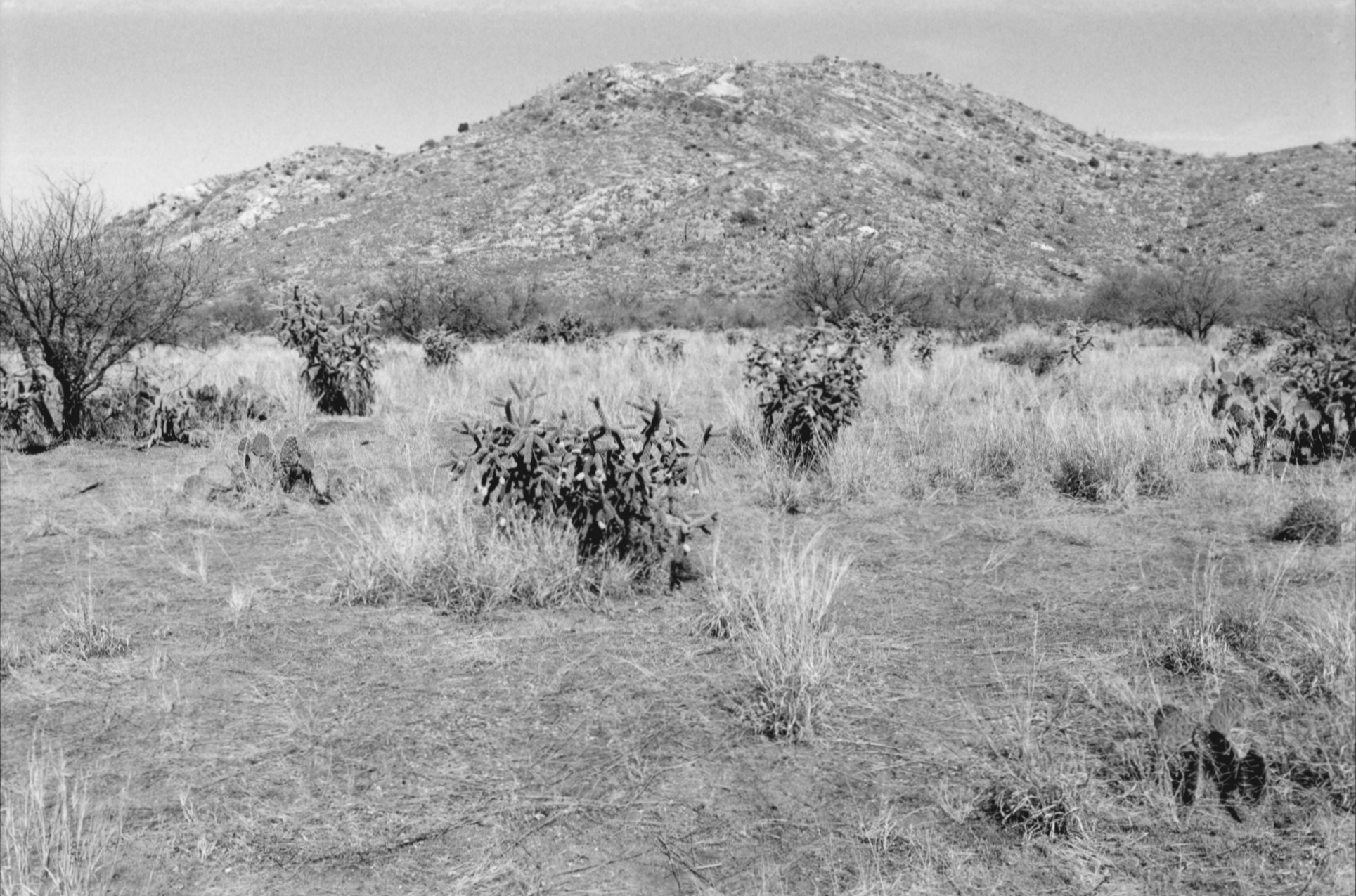
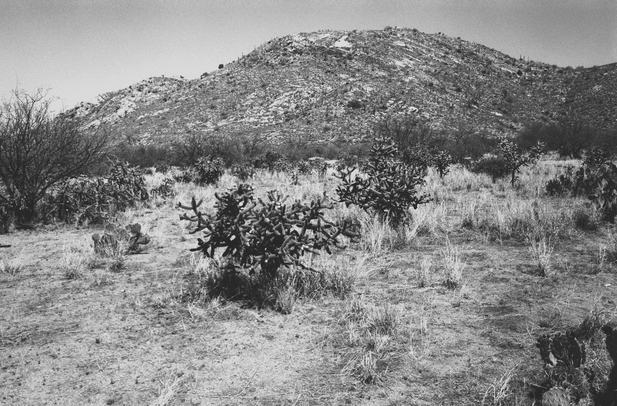
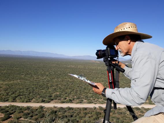
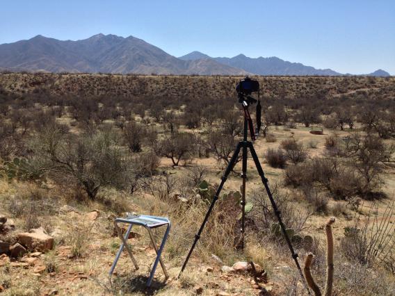
The Santa Rita Experimental Range (SRER) has an archive of photographs taken repeatedly over the years from 124 sites throughout the range. This repeat photography collection is one of the largest and most accessible in the world.
The earliest photographs were taken by David Griffiths between 1902 and 1905 at 16 different locations. These early photographs provided the basis for the first use of repeat photography to document vegetation change in arid grasslands. Since then, new Photo Station locations have been added to monitor vegetation changes over the entire range. The average interval between photographs is approximately 15 to 20 years, but some locations have repeat photographs made twice a year for a period of up to 8 years. Since 2000, photographs are taken on average every other 6 years. Currently, 115 Photo Stations out of the original 124 are actively monitored.
The Repeat Photography database provides access to all images of the SRER Repeat Photography collection, to the Photo Station Retake History, and to the UTM Coordinates of the Photo Station locations, and includes all texts written by the photographers describing the vegetation and other attributes of the scene. Examples of Vegetation Changes are given to show general patterns and exceptions of dynamics at the century, decadal, and annual scale. All contents are available on the pages linked below. Data users are requested to acknowledge their use of this database in publications, research proposals, websites, and other outlets by following the Instructions for Use, Citations, and Acknowledgement.
References
McClaran, Mitchel P.; Angell, Deborah L.; Wissler, Craig. 2002. Santa Rita Experimental Range digital database: user’s guide. Gen. Tech. Rep. RMRS-GTR-100. Ogden, UT: U.S. Department of Agriculture, Forest Service, Rocky Mountain Research Station. 13 p.
McClaran, Mitchel P. 2003. A Century of Vegetation Change on the Santa Rita Experimental Range. In: McClaran, Mitchel P.; Ffolliott, Peter F.; Edminster, Carleton B., tech. coords. Santa Rita Experimental Range: 100 years (1903 to 2003) of accomplishments and contributions; conference proceedings; 2003 October 30–November 1; Tucson, AZ. Proc. RMRS-P-30. Ogden, UT: U.S. Department of Agriculture, Forest Service, Rocky Mountain Research Station. p. 16-33.
McClaran, Mitchel P.; Browning, Dawn M.; Huang, Cho-ying. 2010 Temporal dynamics and spatial variability in desert grassland vegetation. In R.H. Webb, D.E. Boyer, and R.M. Turner (eds.). Repeat Photography: Methods and Applications in the Natural Sciences. Island Press. p. 145-166.
Description of Repeat Photography Archive
Learn more about Repeat Photography at the SRER and the data available for download, and access to Photo Station Retake History.
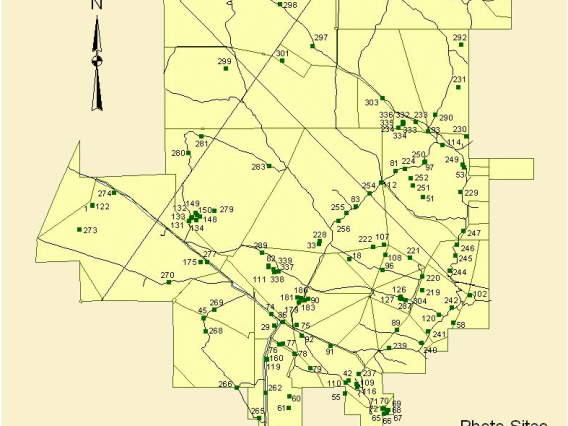
All Repeat Photos taken since 1902 from a Photo Station at the SRER can be viewed and downloaded by selecting a Point in an interactive map or the Photo Station from a list.
UTM Coordinates of Photo Stations
UTM Coordinates are available for download for all 115 Photo Stations currently monitored on the Santa Rita Experimental Range.
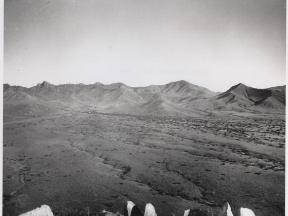
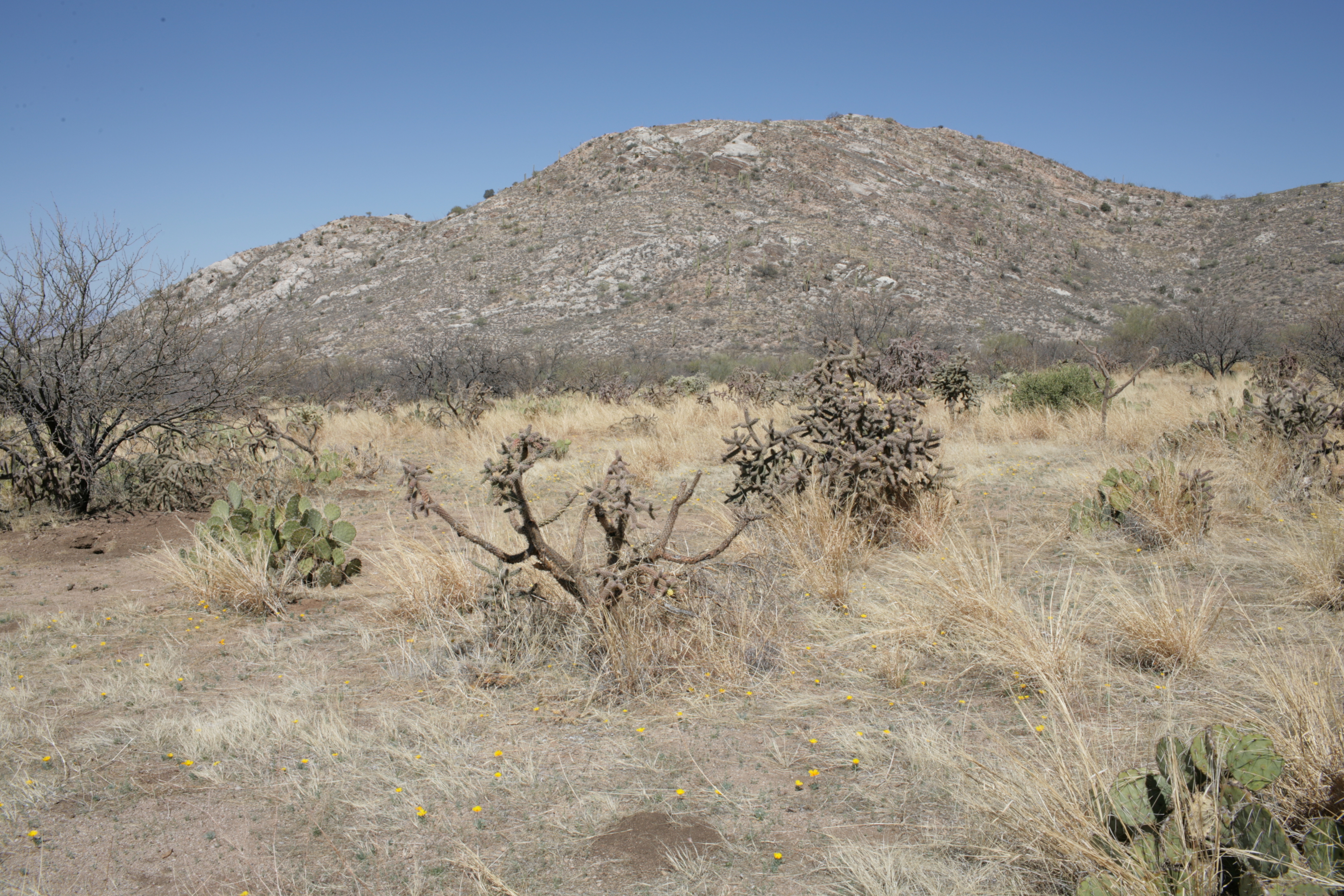
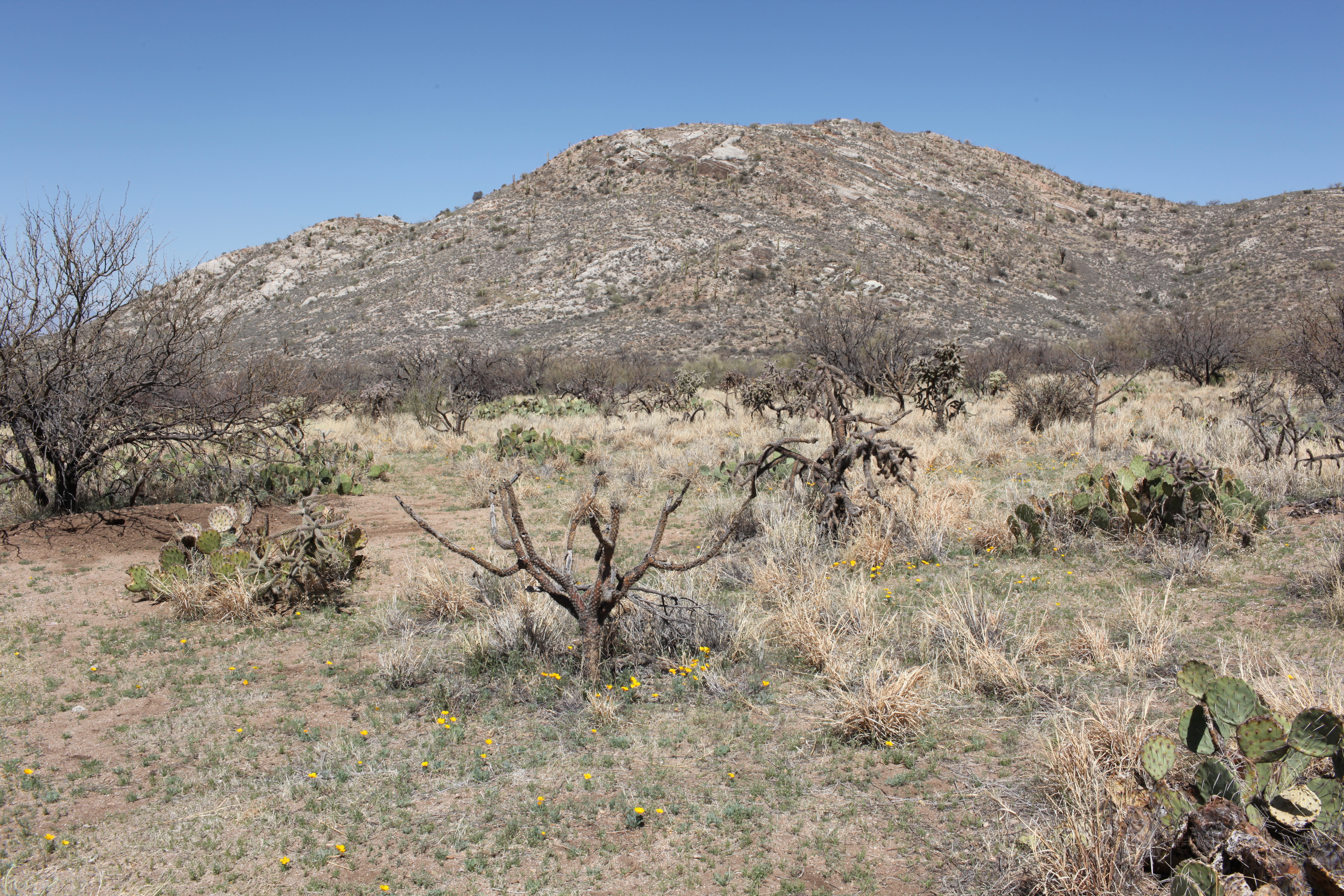
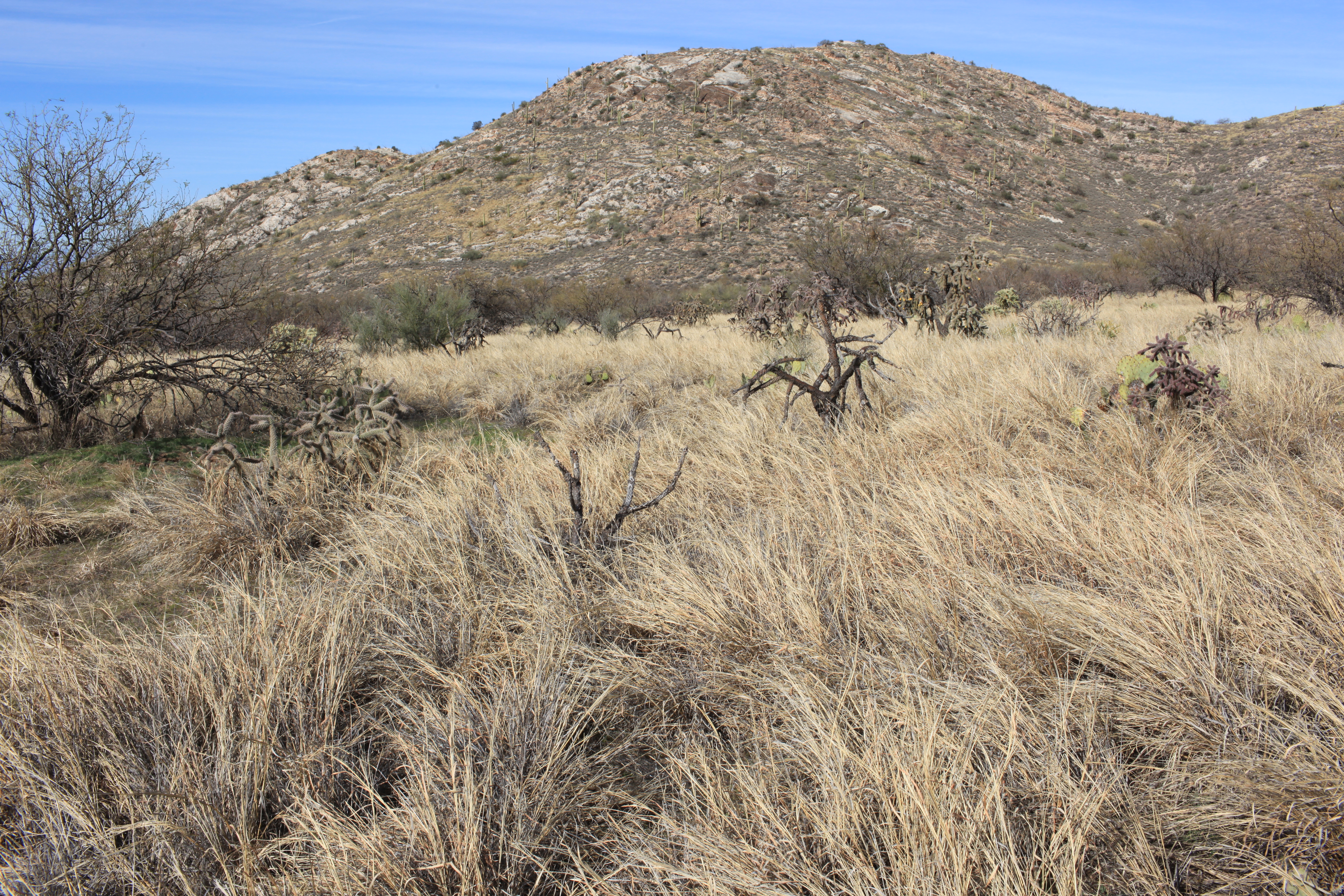
Examples of Vegetation Changes
General patterns and exceptions of century, decadal, and annual vegetation dynamics.