
USDA-ARS Ecosystem-Atmosphere Water and Carbon Exchange
This section describes the USDA-ARS Ecosystem-Atmosphere Water and Carbon Exchange sites on the Santa Rita Experimental Range (SRER).
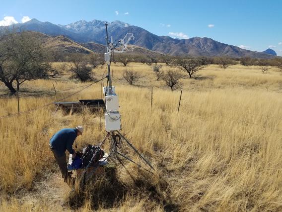
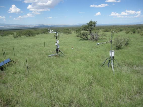
Across the SRER, researchers have deployed measurement systems to monitor the exchanges of water vapor and carbon dioxide between the land and the atmosphere. These systems quantify the vertical flow, or flux, of water vapor back to the atmosphere (called, evapotranspiration or ET) and fluxes of carbon dioxide from the atmosphere and into the ecosystem (photosynthesis), and carbon dioxide flux from the plants and soils to the atmosphere (respiration). Along with these measurements, scientists also collect meteorological, plant, and soil data to help them interpret the fluxes.
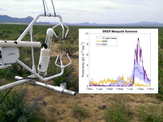
The USDA Agricultural Research Service in Tucson has two sites on the SRER where they make these measurements. One site, established in 2008, is located in a grassland pasture on the southeast portion of the range and the other is in a savanna, or heavily mesquite-encroached grassland, in Pasture 2N and established in 2004. Data from these sites is recorded every 30 minutes and is available via the AmeriFlux network’s data download page via the links in the data pages below.
Graphs of the current year’s fluxes and meteorology are also updated regularly to better understand how this year’s weather has affected the SRER ecosystem eco-hydrology and how the current year looks in comparison with previous ones.
Water and Carbon Exchange Study Background
Learn more about these measurements and how data collected locally at the Santa Ritas is used throughout the world to advance scientific understanding of the Earth’s water and carbon cycles.
Other Water and Carbon Exchange External Resources
Small SRER watershed rainfall and runoff data
Phenology – changes in site greenness
Other nearby flux towers