Jump to navigation
Search form
Search
Toggle navigation
MAIN MENU
Open Navigation
HOME
ABOUT US
Mission and Opportunities
Organization and Structure
Description
History
YouTube SRER Playlists
RESEARCH
Policies
Research and Access Applications
Research Equipment and Lab Space
Examples of Current Research Projects
Publications
RISE Symposia
DATA RESOURCES
Instructions for Use, Citations, and Acknowledgment
Data for download
EVENTS and EDUCATION
Event Calendar
Education
Discovery Fridays
VISITING
Visiting the SRER
Using Facilities
Organizing Events and Meetings
PARTNERS
SUPPORT
CONTACT US
People
Location
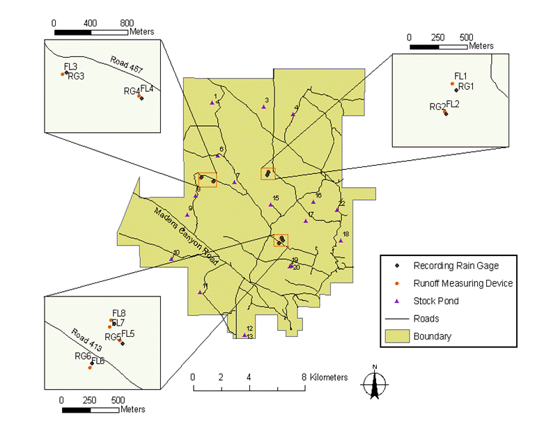
Drone Imagery_ARSwatershed map.gif
USDA ARS
SRER Watershed Map
Return to the top of this page.
 USDA ARS
SRER Watershed Map
USDA ARS
SRER Watershed Map 